Japan’s complex drone rules on one map
DroMap is a free map of Japan’s drone rules. Tap the map for a guide to where you can fly.
No sign-up needed. It works right in your browser.




What you can do with DroMap
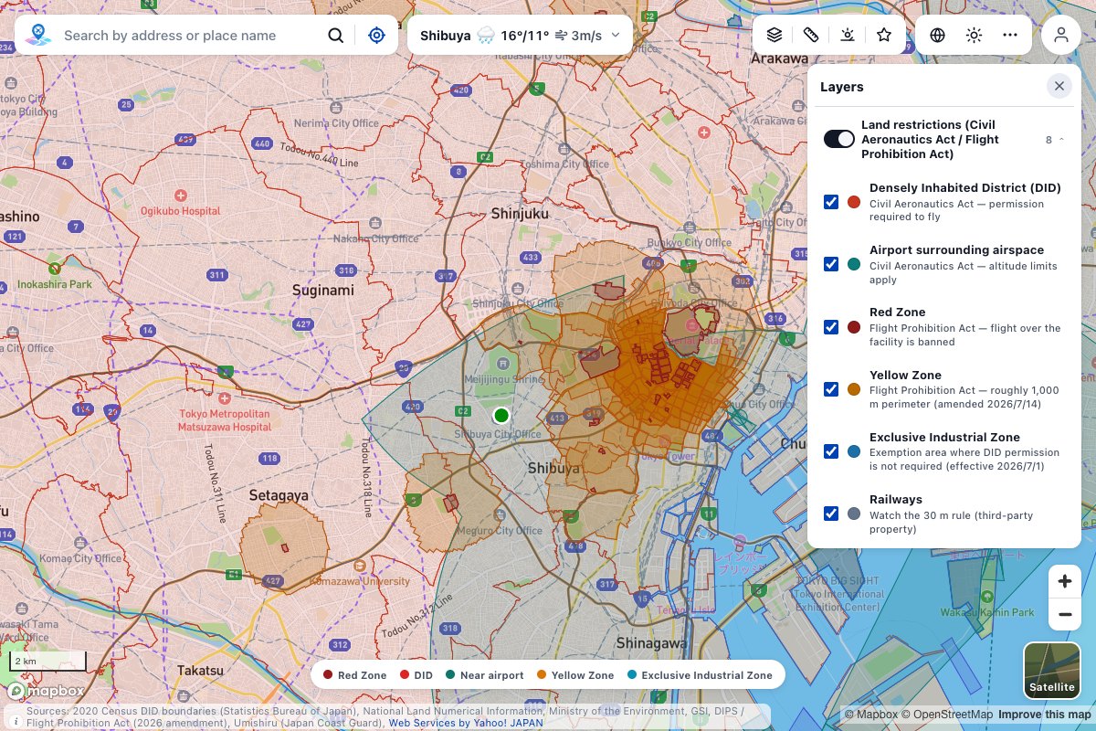
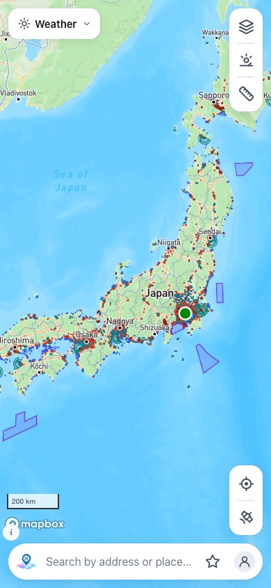
The restrictions to check before a flight, on one map
DID, airport surroundings, Red and Yellow Zones, bylaws and more: 12 or more layers overlaid on one map.
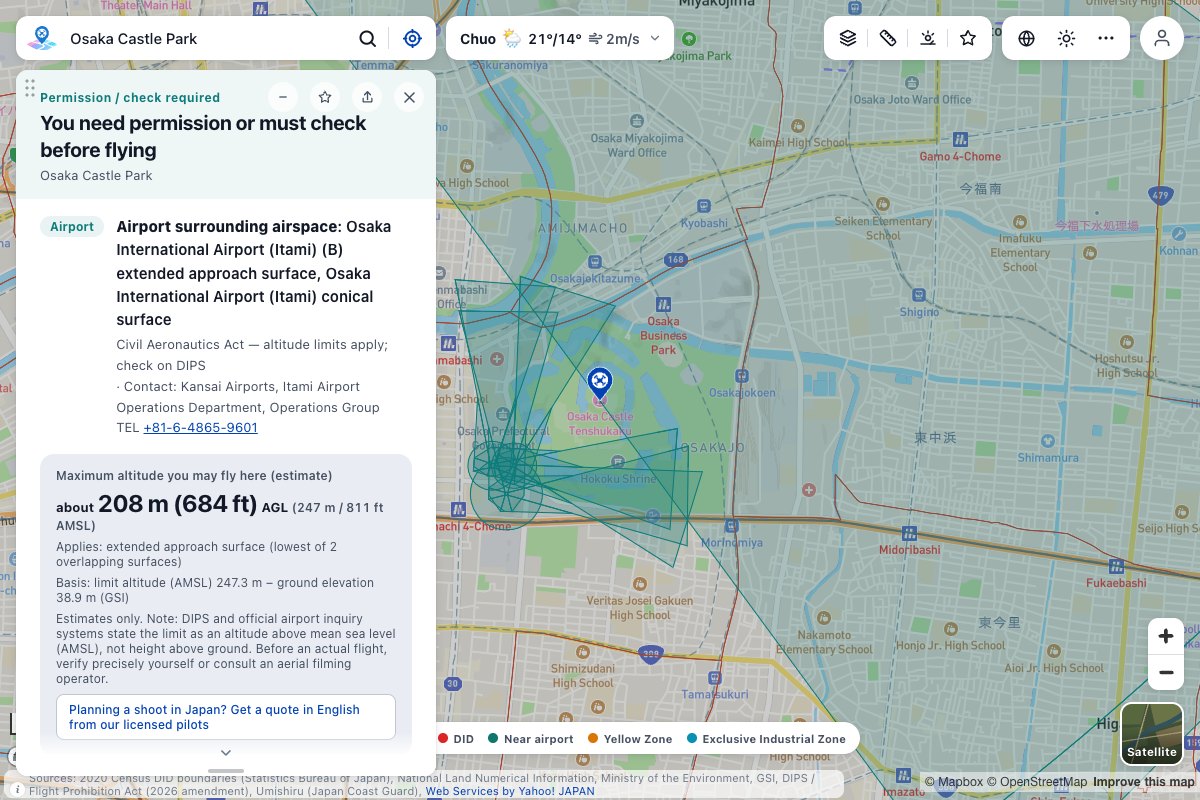
Tap a point and check it on the spot
Address search and your current location work too. It shows the restrictions at that point and a guide to whether you can fly.
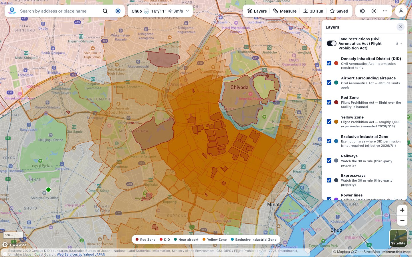
Updated for the 2026 law changes
The wider Yellow Zone (roughly 1,000 m around the facility) and the Exclusive Industrial Zone exemption (no DID permission needed) are shown as amended.
News
View allRestrictions and features on the map
Densely InhabitedDistrict (DID)
Airport surroundingairspace
Red and YellowZones
City parks andmunicipal bylaws
Address search
Check my locationin one tap
Weather, sunriseand sunset
Manage placeswith Saved
How to use it in 3 steps
Open the map
No sign-up and no app to install.
Search an address, or use your location
The map moves to where you want to fly.
Tap a point to check it
You see the restrictions there and a guide to whether you can fly.
Zone-check API for businesses
Send a latitude and longitude, and get the restrictions at that point as JSON. Build it into your own systems and apps.
Check where you can fly, right now
Free, no sign-up. Just open it in your browser.
The app is available on theApp StoreandGoogle Play.
Data sources
A guide based on official data. Before any flight, always check the latest laws and local bylaws.
Frequently asked questions
Contact
For aerial filming requests, business use or other questions, please use the form below. We reply in English.